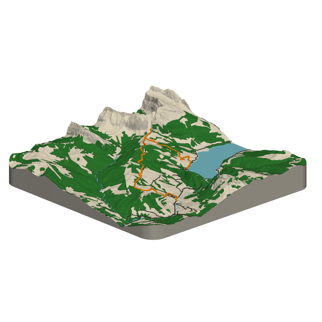

Printed hike
🇨🇭 Wägitalersee
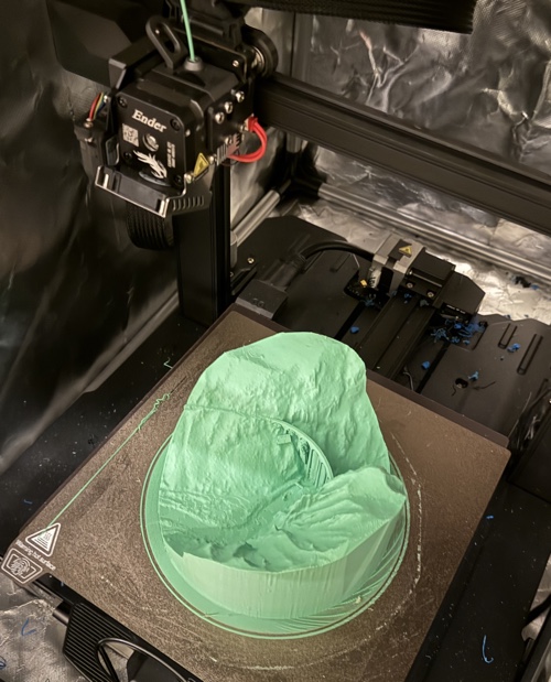
A hike near Vorderthal, printed with terrain, route and lake in separate filament colors.
Watch it being printed →Turn real terrain into a 3D-printable model — a detailed slice of Switzerland, or the route you walked, rode or ran anywhere in the world.
 Worldwide
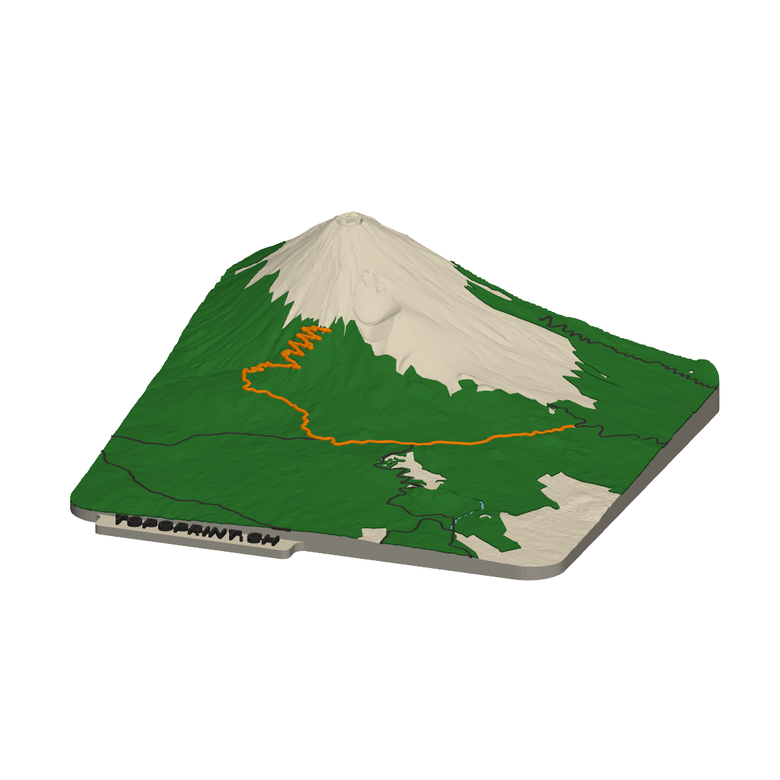
Upload the GPX file of a hike, ride or run — anywhere on the planet — and get the terrain underneath it with your route raised on top.
Pick any spot in Switzerland and get a Topodisc: a round (or round-rect) model of that neighborhood, in remarkable detail.
Real models from both tools. Open any of them in 3D, download the file, or order a print.
A hike near Vorderthal, printed with terrain, route and lake in separate filament colors.
Watch it being printed →


The 65-metre-high Rhaetian Railway viaduct near Filisur, printed in several filament colors.
The story on the blog →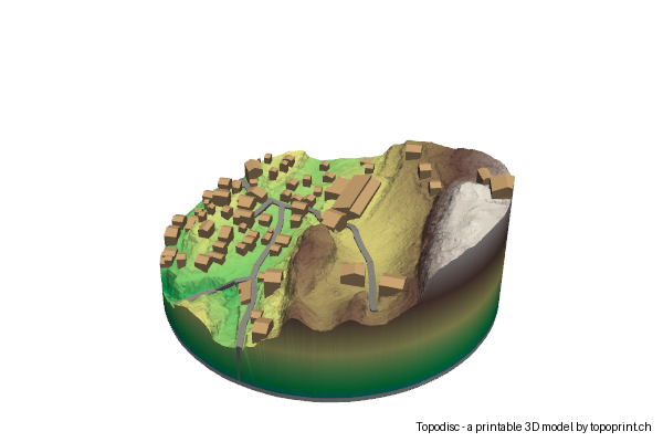

The same spot before and after the Birchgletscher collapse buried the village in 2025.
The story on the blog →

A 1.5 × 1 m model of the city centre, split into 20 cm tiles that fit a print bed.
The story on the blog →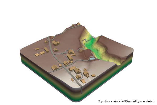

A castle ruin in Meilen, shaped as a RoundRect: a rectangle with rounded corners instead of a disc.
The story on the blog →Within a couple of minutes, the file is ready to be downloaded for your own 3D printer.
No 3D printer? On any Topodisc page you can order a print delivered to your home with Teil3 (made in Switzerland) or CraftCloud for international orders.
